The best trails for hiking in Sierra Nevada, Spain, are Mulhacén, Pico Veleta, Los Cahorros and the Vereda de la Estrella. Spring and autumn are the best seasons for low-altitude walks, and summer is best for the high-altitude peaks.
The Sierra Nevada sits right behind Granada, in Andalucía in southern Spain, and most of its high ground is protected as Sierra Nevada National Park. If you’re short on time, we’ve listed our favourite hikes in the below table.
If you only have time for one hike in the Sierra Nevada, we’d choose Mulhacén in summer. It’s a long day out (five to six hours from the minibus stop), but it’s the highest you can stand anywhere in mainland Spain. If you’ve got children with you, Los Cahorros de Monachil and its wobbly footbridges are the one to pick.
Disclaimer
All transport details and park minibus dates in this guide are correct as of October 2026, but they do change. We update this article regularly and would recommend checking ctagr.es, Alsa and Autocares Tocina for the latest timetables before you travel.
What is the best hike in Sierra Nevada, Spain?
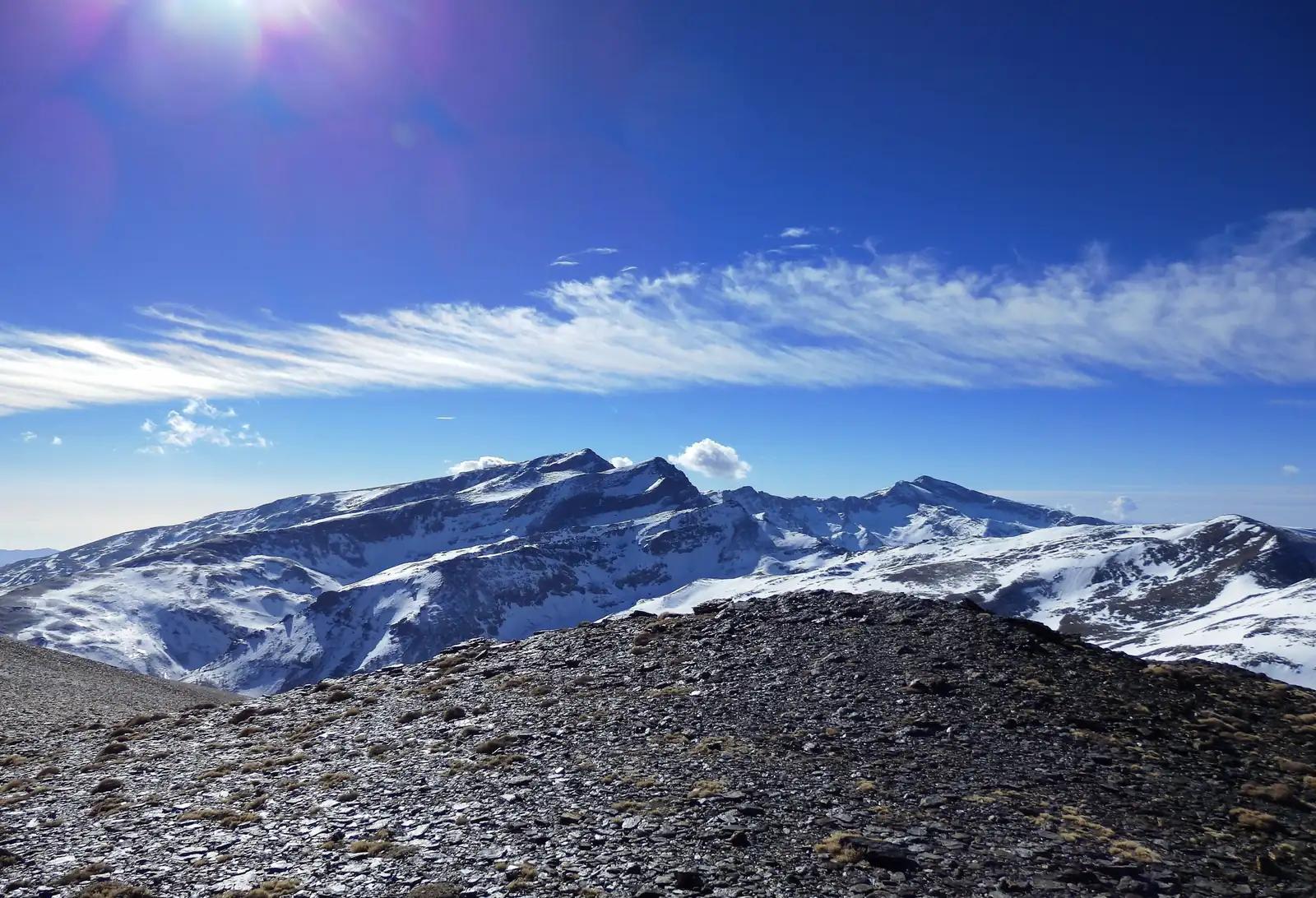
The best hike in Sierra Nevada, Spain, is Mulhacén. It’s the highest mountain in mainland Spain at 3,479 metres. In summer and autumn, a park minibus from Capileira takes you up to 2,700 metres, leaving a five to six-hour walk to the top and back on a clear path. From the summit you look across to Pico Veleta and Alcazaba.
Planning a hiking trip with friends or family? Create a Trip Board on TripJuggler and have everyone in your group add their ideas. TripJuggler then turns everything into one itinerary, with a mapped route and all your saved tips.
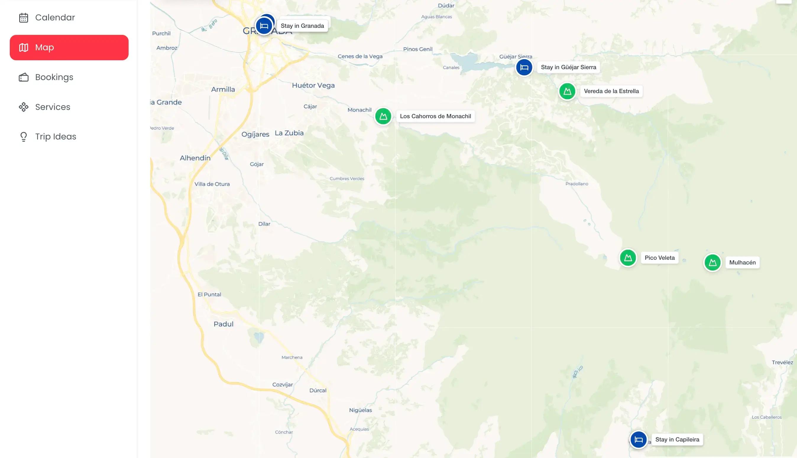
Below, we’ve broken down each walk, with what to expect on the trail and how to reach the start from Granada.
Pico Veleta
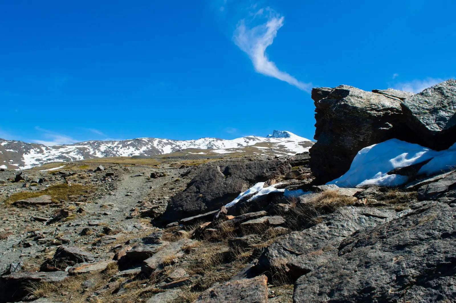
Pico Veleta, or Pico del Veleta in Spanish, is the second-highest peak in the Sierra Nevada at 3,396 metres. On a clear day, you can see it from Granada. In summer, a park minibus can take you up to Posiciones del Veleta, and from there the walk to the top takes about an hour.
The minibus leaves from Hoya de la Mora, at 2,550 metres, just above the Sierra Nevada ski resort. You can also walk the whole way from there, which is 12 to 14km there and back with around 850 metres of climbing. We’d take the minibus if you can, as the lower half of the walk crosses the ski slopes, and the best views are higher up.
The path from the minibus stop to the summit follows the old road to the Veleta, once considered the highest road in Europe, and you don’t need climbing skills.
The harder part of Pico Veleta is the altitude. Height can start to affect people from around 2,500 metres, and some walkers feel short of breath or get a headache this high up. Taking it slowly and drinking plenty of water helps, and if you start to feel unwell, turn around and head back down.
From the top you can see down to Granada, and in very clear weather you could be lucky enough to see the Mediterranean and the coast of North Africa. On the way back to Posiciones, a side path leads down to the Laguna de las Yeguas, a small mountain lake that has been dammed to form a reservoir.
How to get to Pico Veleta from Granada
Without a car, Autocares Tocina operates a daily summer bus from Granada bus station to Hoya de la Mora, leaving at 9:00 and coming back down at 17:00. By car, it takes about 50 minutes. Take the A-395 towards the Sierra Nevada ski resort. Shortly before the resort, turn left where it’s signposted for Hoya de la Mora and Parking de los Peñones.
There’s a free car park at Hoya de la Mora, at the end of the road. It gets busy during the day, and sometimes the road can close until spaces free up, so arrive early.
TripJuggler Tip: The park minibus from Hoya de la Mora only runs in summer, and seats are limited. Book ahead by phone.
Los Cahorros de Monachil
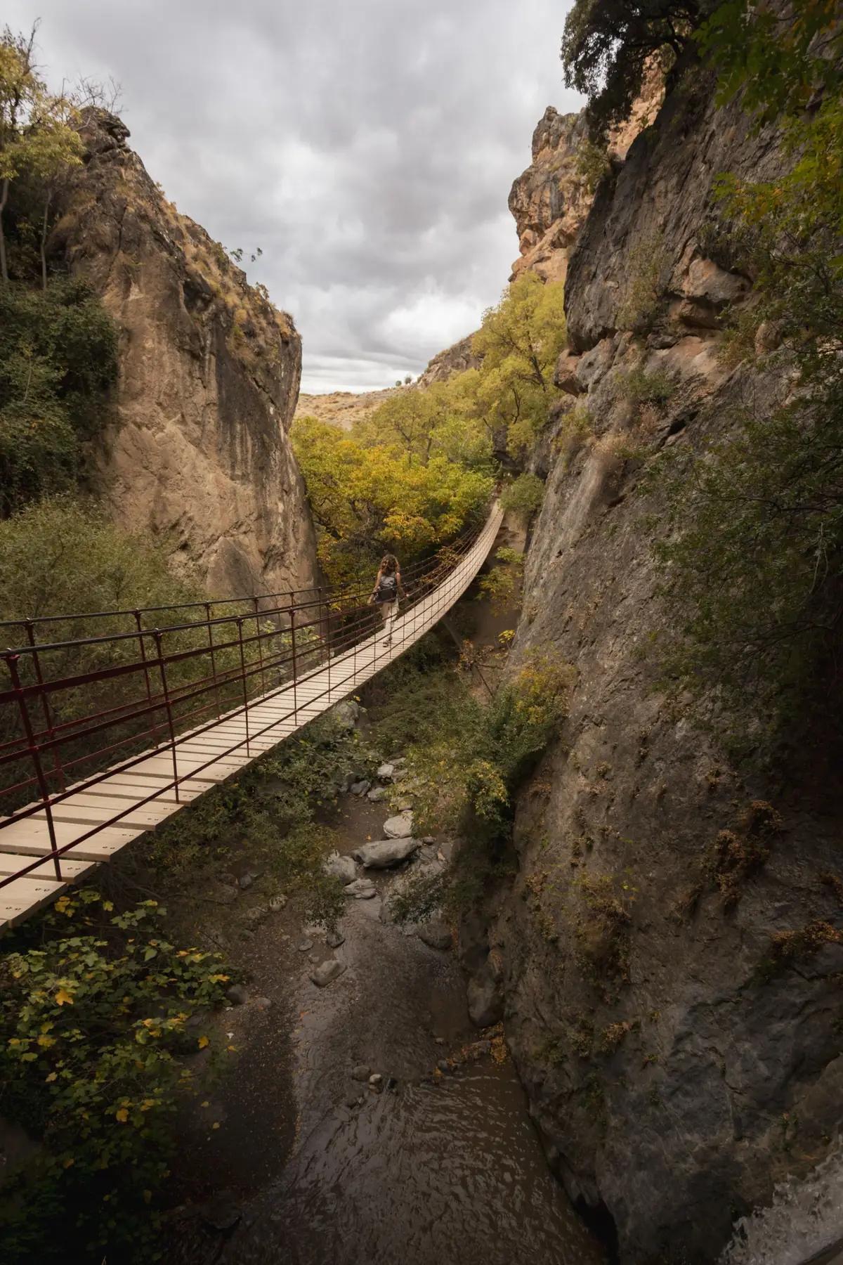
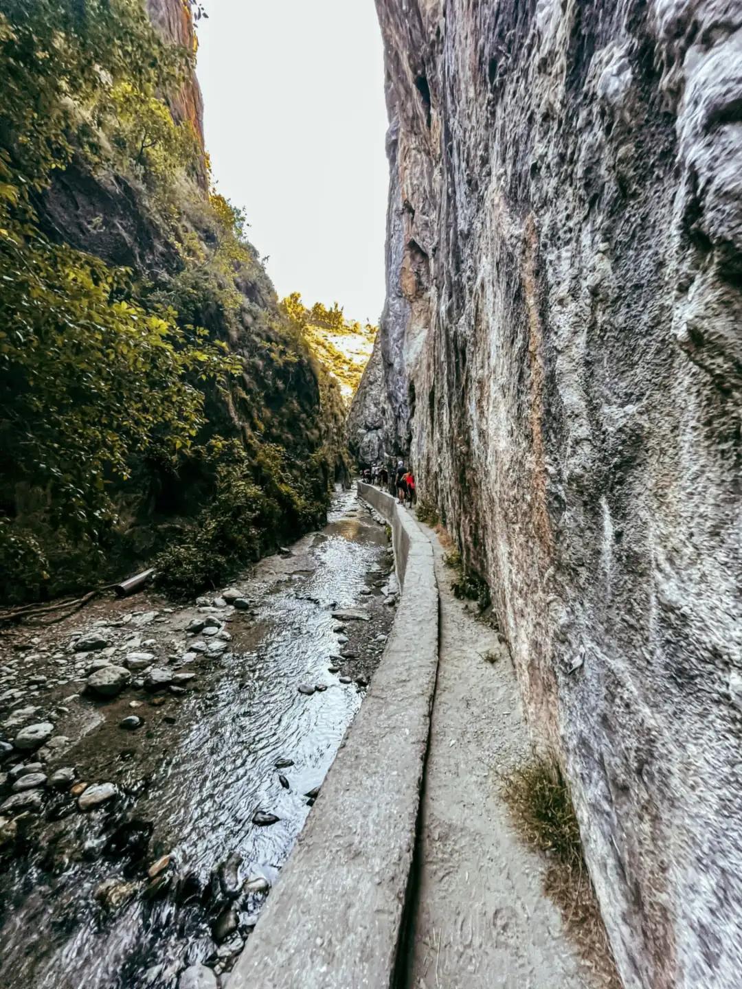
Los Cahorros de Monachil is a riverside walk through a limestone gorge, starting in the village of Monachil about 10km from Granada. The path follows the Monachil river along the bottom of the gorge and crosses it on up to five hanging footbridges, the longest 63 metres across and 15 metres above the water. The full loop takes around three hours.
The full loop is signposted as the PR-A 283. If you’d only like to see the hanging bridges, a shorter walk of about 4km along the river takes around an hour and a half. Both begin on Calle Trinidad Carreras in the village and pass a small spring called the Fuente del Piojo.
The riverside stretch to the bridges is easy enough for children, but watch your footing on the narrow parts. This route climbs higher above the gorge on the way back, so it’s a moderate level walk.
Inside Los Cahorros, the path moves through narrow gaps in the rock and a short tunnel called the Cueva de las Palomas. The footbridges sway as you cross them, which is exhilarating or slightly nerve-wracking, depending on how you are with heights!
The walk is shaded, which makes Los Cahorros one of the best hikes in the Sierra Nevada during the summer. You’ll also pass the ruined guard’s house of an old power station, and the Tranvías hydroelectric station, built around 1907 to power the Sierra Nevada tram and still working today.
Getting to Los Cahorros from Granada
By bus, take the 183 from Paseo de los Basilios, next to Puente Blanco in Granada, to Monachil. The 183 operates on weekdays and Saturday mornings, and the 181 on Saturday afternoons, Sundays and public holidays. Check the times in advance on ctagr.es, Granada’s local bus website. The bus stops in the village, a short walk from the trailhead, which makes Los Cahorros an easy choice for hiking near Granada without a car.
If you do have a car, it’s about a 20-minute drive from Granada to Monachil. Search for Parking Público Los Cahorros on Google Maps. It’s a public car park in the village, around five minutes’ walk from the start of the trail. If there’s no space, park on one of the wider streets in Monachil and walk up from there.
Mulhacén
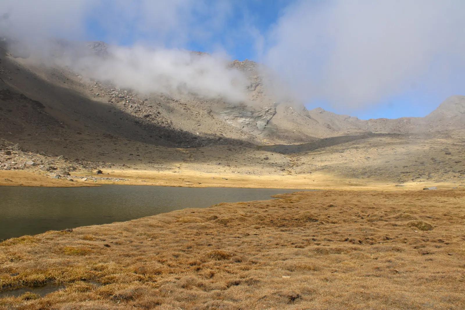
Mulhacén is the highest mountain in mainland Spain, standing at 3,479 metres. The most popular Mulhacén hike starts at the Alto del Chorrillo, a stop at 2,700 metres that you can reach by park minibus from the village of Capileira in summer and autumn. From there, the walk to the summit and back is about 12km and takes five to six hours.
From the Alto del Chorrillo, the path climbs steadily up the southern side of the mountain, past a lower summit called Mulhacén II, to the top. On the way down you can loop past the Laguna de la Caldera, a mountain lake below the summit, for a couple of extra kilometres.
You can also start at Hoya del Portillo, and follow the same path the whole way to increase your route to 24km. This equates roughly to eight hours, and you’ll need a good level of fitness.
If you’re an experienced walker, you could even start in the village of Trevélez and pass the Siete Lagunas, a group of seven small lakes below the summit. It’s about 24km, but as Trevélez is lower down, it’s a harder climb.
The summit is usually free of snow between July and September, and often into October. Outside that window, you’ll need winter mountaineering experience and kit. Check the Mulhacén weather on the mountain forecast from AEMET, Spain’s national weather service, before you go.
Getting to the Mulhacén trailhead from Granada
The easiest way to get to the Mulhacén trailhead from Granada is to get the park minibus from Capileira, which is about an hour and a half drive from Granada. The minibus leaves from the information point at Carretera del Barranco de Poqueira 1D in Capileira. It operates in summer and autumn, and seats must be booked in advance by phone.
If you don’t have a car, Alsa also runs buses from Granada bus station to Capileira, which take around two and a quarter hours. But it is extremely important to note that the first bus arrives in Capileira at about 12:15, and with a five to six-hour walk ahead, you won’t make it back in time for the last bus to Granada at around 6:35pm.
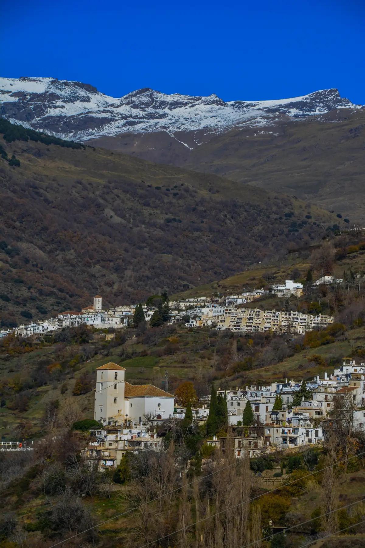
If you’re coming from Granada by bus, you’ll need to spend the night in Capileira and take the minibus up the next morning. It’s the highest of the three white villages in the Poqueira valley, and a lovely place to start the walk.
Planning Mulhacén with a night in Capileira? Paste the URL of this guide into TripJuggler to turn it into an itinerary and map, complete with all of our tips.
Vereda de la Estrella
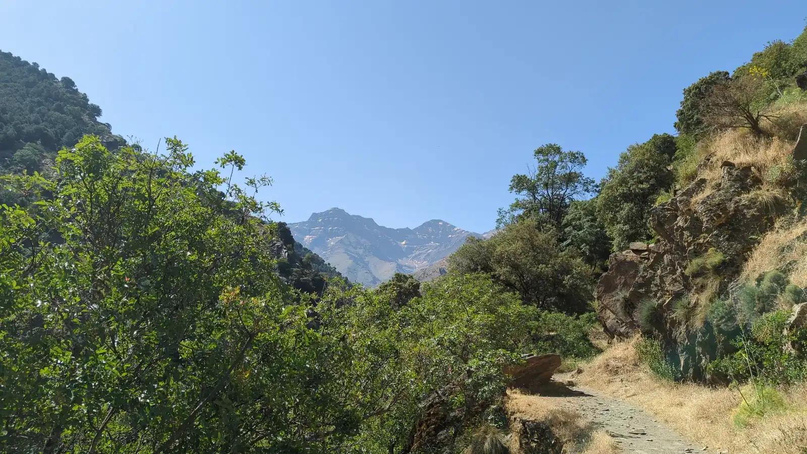
The Vereda de la Estrella is a walking path along the Genil valley in Sierra Nevada National Park, with views up to the north faces of Mulhacén, Alcazaba and Pico Veleta. It starts at Barranco de San Juan, just up the valley from the village of Güéjar Sierra. You can choose where to turn around, so it can be a one-hour family walk or a full day out.
After a short, steep start up from the river, the path climbs gently. It was built in 1890 for mules carrying copper ore down from the Estrella and neighbouring mines, which is why it’s wide and easy to follow. For most of the way it keeps to the shady side of the valley, which is great on a hot day.
Here are the main options, from the shortest walk to the longest.
- El Abuelo, a chestnut tree over a hundred years old. It’s about an hour there and back, and the easiest place to turn around with young children.
- El Viso, a bend in the path another half hour on, where the north faces of Alcazaba and Mulhacén first come into view. Allow about two hours there and back.
- The Guarnón bridge, a rustic bridge over the ravine just past the old Probadora and Estrella mines, with views up to the summit of Pico Veleta. It’s about 16km there and back, which takes four to five hours.
- Cueva Secreta, the end of the Vereda, about 21km there and back, or six to seven hours. This is the full walk, and it suits fit walkers.
- A circular route for experienced walkers, which drops to the river and climbs back up the steep Cuesta de los Presidiarios. Komoot puts it at 22.2km with 810 metres of climbing, taking nearly nine hours, and grades it as hard.
Reaching the Vereda de la Estrella from Granada
The drive to the Vereda de la Estrella from Granada takes about 50 minutes. Take the A-395 towards Sierra Nevada and come off at the exit for Pinos Genil and Güéjar Sierra. From the village, follow the signs for Maitena and Barranco de San Juan. At El Charcón, at the bottom of the valley, turn left through the tunnel signposted for the Vereda de la Estrella.
There’s parking at the end of the road, by the Barranco de San Juan restaurant, but spaces are limited. If you see a space lower down, take it! It’s one of the busiest paths in the national park, so arrive early on weekends.
Without a car, your journey there is doable, but adds more distance. Take the 390 bus from Paseo de los Basilios to Güéjar Sierra, then walk the Vía Verde de Sierra Nevada, a 6km path along the old tram line, to the trailhead at Barranco de San Juan. It adds 12km there and back, which makes El Abuelo or El Viso a sensible place to turn round.
Hiring a car for the Vereda de la Estrella? Add your car hire booking to TripJuggler along with your hiking itinerary to keep everything in the same place.
When is the best time for hiking in Sierra Nevada, Spain?
Spring and autumn are the best seasons to hike at low altitude in Spain’s Sierra Nevada, and summer is the best for the high-altitude peaks. From late autumn until early summer, Mulhacén and Pico Veleta are usually snowy and only suitable for experienced winter walkers. In summer, the low-altitude walks are still fine if you start early, but the heat can be intense by mid-morning.
Whenever you go, weekends and public holidays are the busiest times in the Sierra Nevada, and trailhead car parks fill quickly. Go on a weekday if you can.
Summer is hot at low altitude. AEMET, Spain’s national weather service, puts the average July high at Granada airport at around 35°C. Start low-altitude walks early and carry plenty of water. It’s cooler higher up, but the national park warns that mountain thunderstorms are common in spring and summer, and it’s safest to be heading down by early afternoon.
If you’re planning a high-altitude walk, check the park minibuses before you go, as they only operate for part of the year. The minibus from Hoya de la Mora to Pico Veleta runs in summer, and the one from Capileira to Mulhacén runs through summer and into autumn. Exact dates change each year with the snow and weather, so ring ahead before you book your trip.
Autumn is the national park’s own pick for the Vereda de la Estrella, when the chestnuts and other trees in the Genil valley change colour.
How do you reach the Sierra Nevada trails from Granada?
You can reach all four trails from Granada by car, and by public transport too with some planning. Buses run to Monachil for Los Cahorros, to Güéjar Sierra for the Vereda de la Estrella and, in summer, to Hoya de la Mora for Pico Veleta. If you’re reaching Mulhacén by bus, you’ll need to spend a night in Capileira, on the southern side of the mountains.
A car gives you the most freedom, and it’s the easiest way to reach the Vereda de la Estrella. Without one, Los Cahorros is the simplest walk to reach by bus, as the local bus to Monachil runs all year. In summer, the Tocina bus also makes Pico Veleta easy to reach, and a same-day return costs €9.
Capileira is in the Alpujarras, the area of mountain villages on the southern slopes of the Sierra Nevada. Without a car, it’s the best base to choose for Mulhacén, as you’ll need a night there to catch the morning minibus.
Combining these hikes with a stay in Granada? Paste the URL of this guide and your Granada trip ideas into TripJuggler, and it’ll turn everything into an itinerary automatically.
FAQs about hiking in Sierra Nevada, Spain
Is Sierra Nevada good for hiking?
Yes, Spain’s Sierra Nevada is good for hiking at almost any level. Its paths are well waymarked with signposted routes, and in summer park minibuses carry walkers above 2,700 metres, which puts the highest summits within reach without technical climbing.
Is Sierra Nevada, Spain worth visiting?
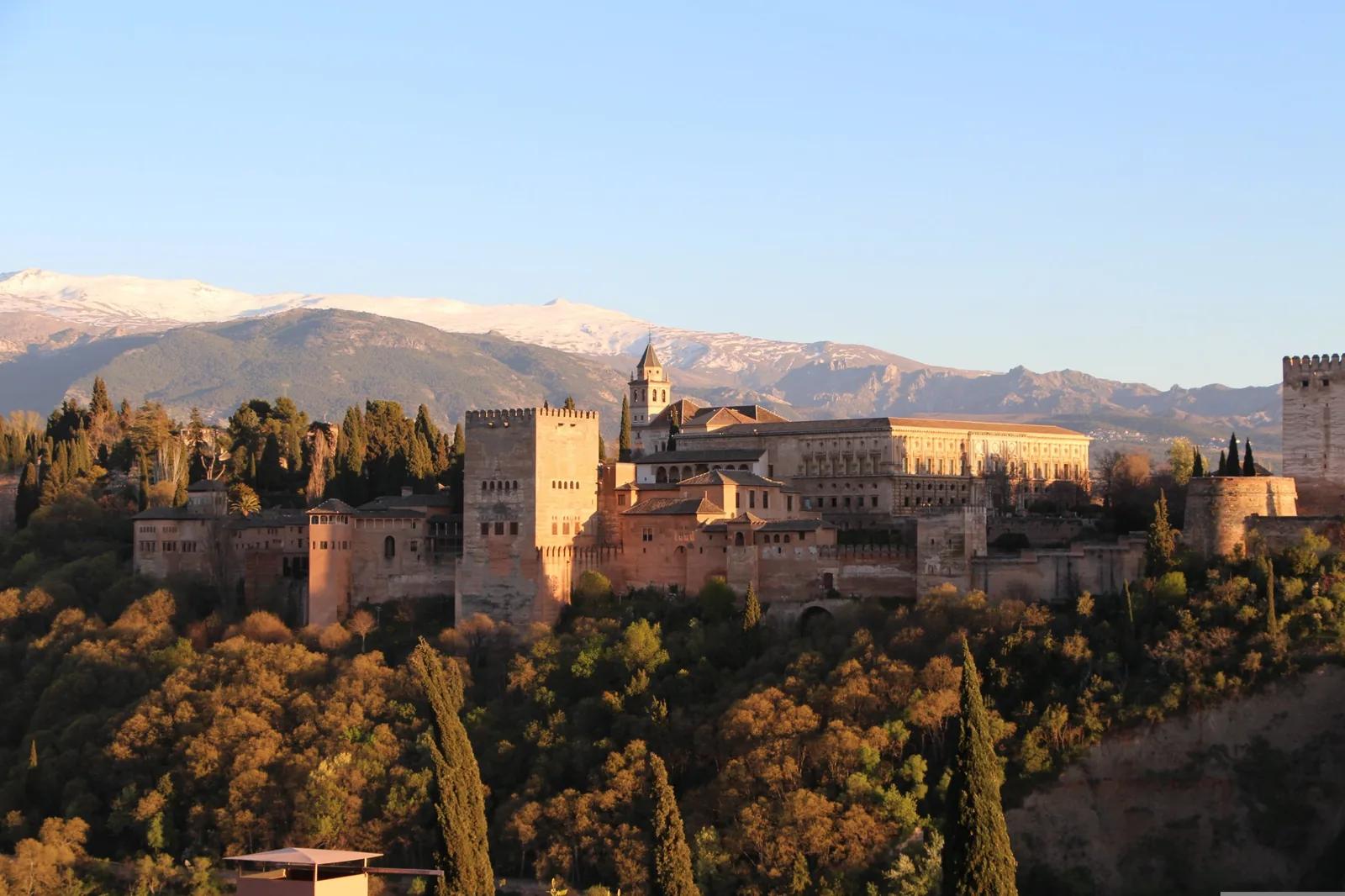
Yes, Sierra Nevada, Spain is worth visiting, particularly if you pair it with a stay in Granada, which sits at the foot of the range and is home to the Alhambra palace. You can spend a day walking in the Sierra Nevada and be back in the city the same evening.
Why is Sierra Nevada so famous?
The Sierra Nevada in Spain is famous for its plant life and its protected status. UNESCO made it a biosphere reserve in 1986, and its high ground became a national park in 1999. It’s home to around 2,100 plant species, nearly 30% of all those found in mainland Spain, and more than 80 of them grow nowhere else in the world.
How long is the Sierra Nevada trail in Spain?
Spain’s Sierra Nevada trail is around 300 kilometres long. Its official name is the GR 240, or Sendero Sulayr, and it loops around the whole range in 19 stages, which take 15 to 19 days to walk in full. The Junta de Andalucía advises against walking it in winter, when stretches above 2,000 metres are under snow, and notes that some sections stay snowy well into spring.
Do you need a permit to hike in Sierra Nevada National Park?
No, you don’t need a permit to hike in Sierra Nevada National Park. The only time you need to contact the park is to sleep out overnight, in a tent or in the open. Tell them in writing at least 15 days in advance, and bear in mind that camping isn’t allowed in wooded areas between 1 June and 15 October.
Can you stay overnight in a mountain hut in the Sierra Nevada?
Yes, you can stay overnight in a mountain hut in the Sierra Nevada, but not all of them are open. Refugio Poqueira, the staffed hut below Mulhacén, has been closed for renovation since 2023, with only its free vivac area open as of October 2026. The smaller unstaffed huts, called refugios-vivac, are free, but you need your own food and bedding. Check with the park office that they’re open first.
- Read next: Europe Road Trip Planner